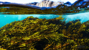
New Mapping Tools Helping to Protect Seagrass


Researchers and engineers from the University of Southampton are working together by using geospatial autonomous mapping tools and AI technology to survey and assess the health of seagrass beds in Studland Bay, Dorset.